Professional Civil
Engineering & GIS Consultants
SS Consulting Engineers Ltd delivers civil engineering design and build for developers, landowners and local authorities across the UK, grounded in geospatial analysis that reflects real ground conditions on every site.
one point of reference
SS Consulting Engineers Ltd
SS Consulting Engineers Ltd is a progressive Design and Build consultancy dealing in several areas within the building and construction industry. We have a team of qualified and experienced engineers, technicians, surveyors, site managers and project managers all offering quality customer service to our clients. The team has a wide range of experience in residential and commercial projects.
We provide sustainable and value engineering structural design and build solutions, customised to meet the unique needs of each client. Our approach is highly flexible, allowing us to adapt materials and techniques to suit individual projects.
We provide project management services. Let our experienced project managers handle every detail, so you can focus on your priorities without the hassle of dealing with builders directly.
We use the latest technology and innovative techniques for cost effective and enhanced quality solutions, including 3-dimensional models and Building Information Modelling (BIM) to achieve high quality and sustainability in our projects.
With a commitment to client satisfaction, efficiency and superior craftsmanship, SS Consulting Engineers Ltd stands as a trusted partner in bringing visions to life and achieving construction goals with precision and integrity.
Built on Expertise, Delivered with Care
Experienced Engineers
A team of qualified engineers and surveyors who work across residential and commercial projects, matching expertise to the specific type of service required.
Human Capital First
Continuous training bridges what's learned in university with how it's applied on site, so client-facing service stays at the highest level.
Managed Project Delivery
A dedicated project management team and integrated systems keep every scheme on track, from feasibility through to as-built handover.
A Range of Consulting Services
From feasibility through to a structure that's actually standing, plus everything a project needs in between.
Project Management
We improve resource management, quality assurance, time management and cost management. You never need to deal with builders directly.
Civil / Structural Engineering Design
Sustainable, value-engineered structural design and build services, flexible in materials and techniques. Specialising in loft conversions, extensions, flat conversions, basements, retaining walls and refurbishments.
Architectural Services
Modern architectural services for client satisfaction and planning approvals.
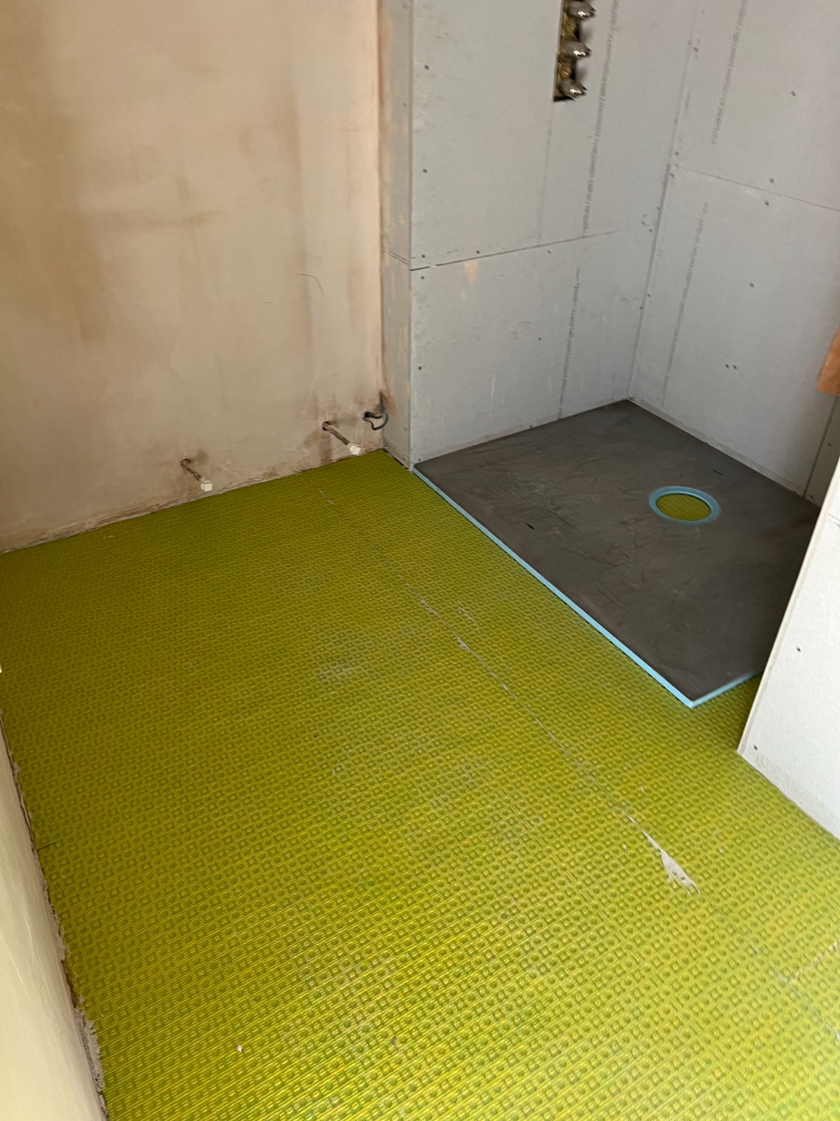
Bespoke Design
Alternative construction methods based on client requirements, including reinforced concrete, structural steelwork, masonry and timber, plus complete structural design packages with detailed drawings and calculations.
Basement Design
Basement conversions are very popular in London. We provide design, detailed drawings and specifications for converted and new basements that meet Building Regulations.
Extensions & Conversions
Loft conversions in London are very popular. Extending is often a good, cost effective alternative to moving. Our experienced Structural Engineers provide a complete design package for loft conversions, including detailed drawings and calculations for Building Regulations approval. We also provide expert design solutions for rear, side and first-floor extensions, with full detailed drawings and stability calculations for submission. Our project managers deal with individual builders or sub-contractors on your behalf.
Structural Survey & Reports
We carry out structural surveys to check the existing condition of a property and produce technical reports explaining conditions found and recommendations for strengthening if required, considering areas of concern such as subsidence in detail.
Insurance Claims
We have resolved many insurance claims and complex technical matters on behalf of our clients, applying an innovative approach on challenging projects for the client's benefit.
Other Services & Areas Covered
- Planning Consultants
- Refurbishment, Painting & Decoration
- Building Regulations
- Planning Supervisors
- Subsidence, Fire, Flood, Impact Damage
- Insurance Matters
- Structural / Building Surveys
- Maintenance Work
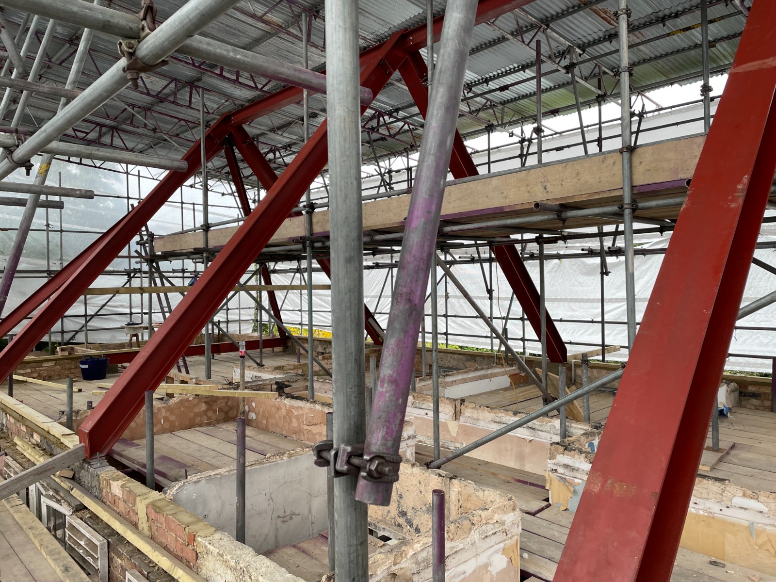
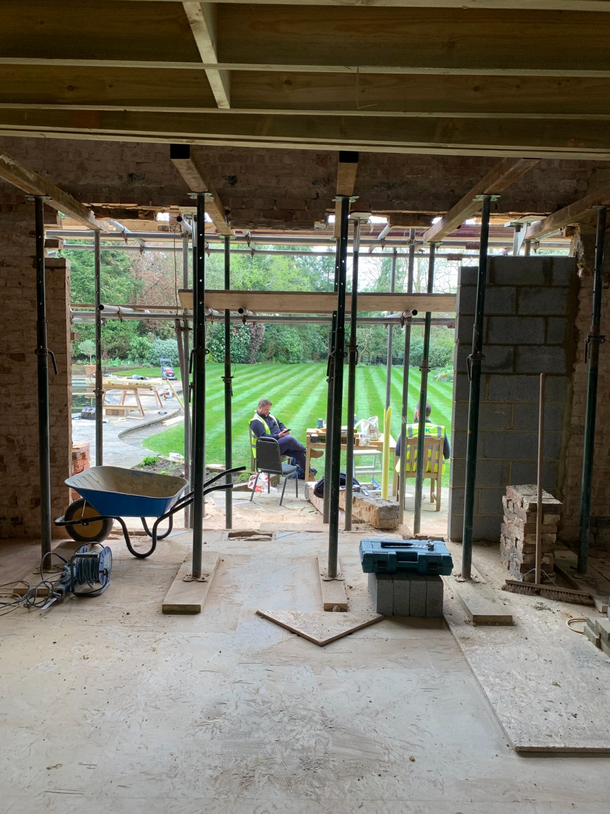
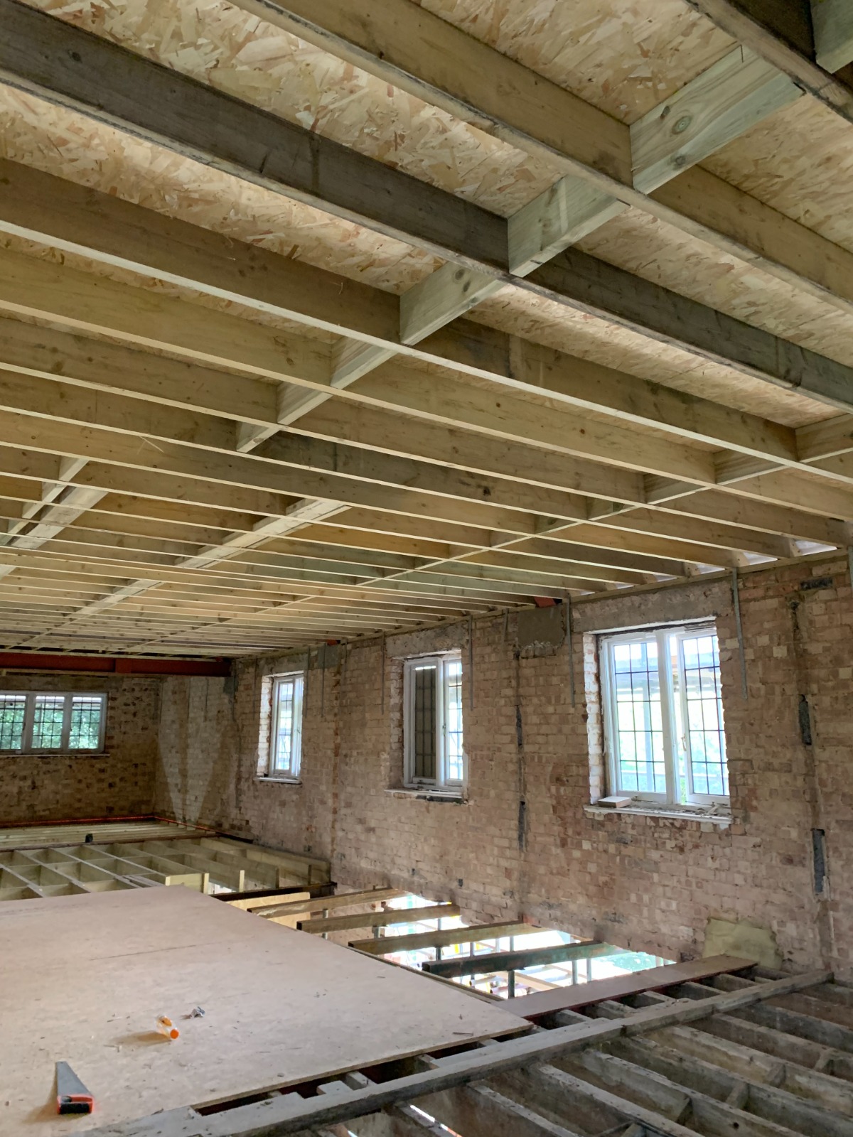
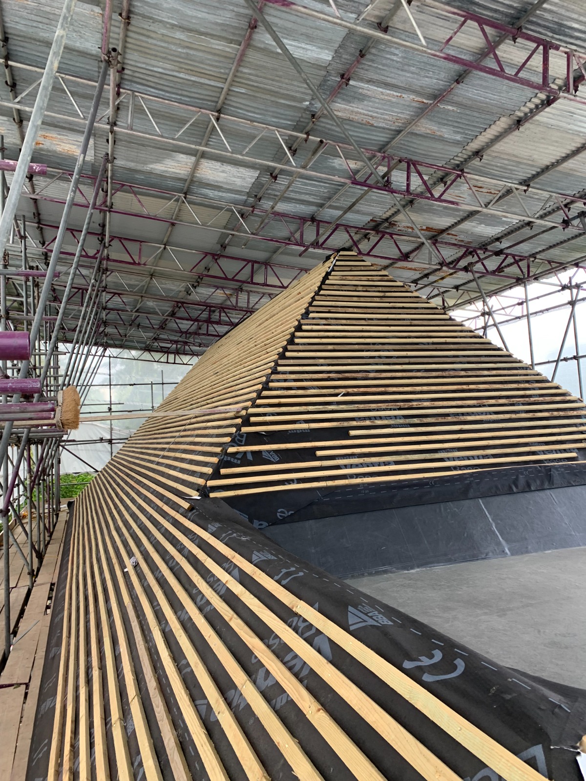
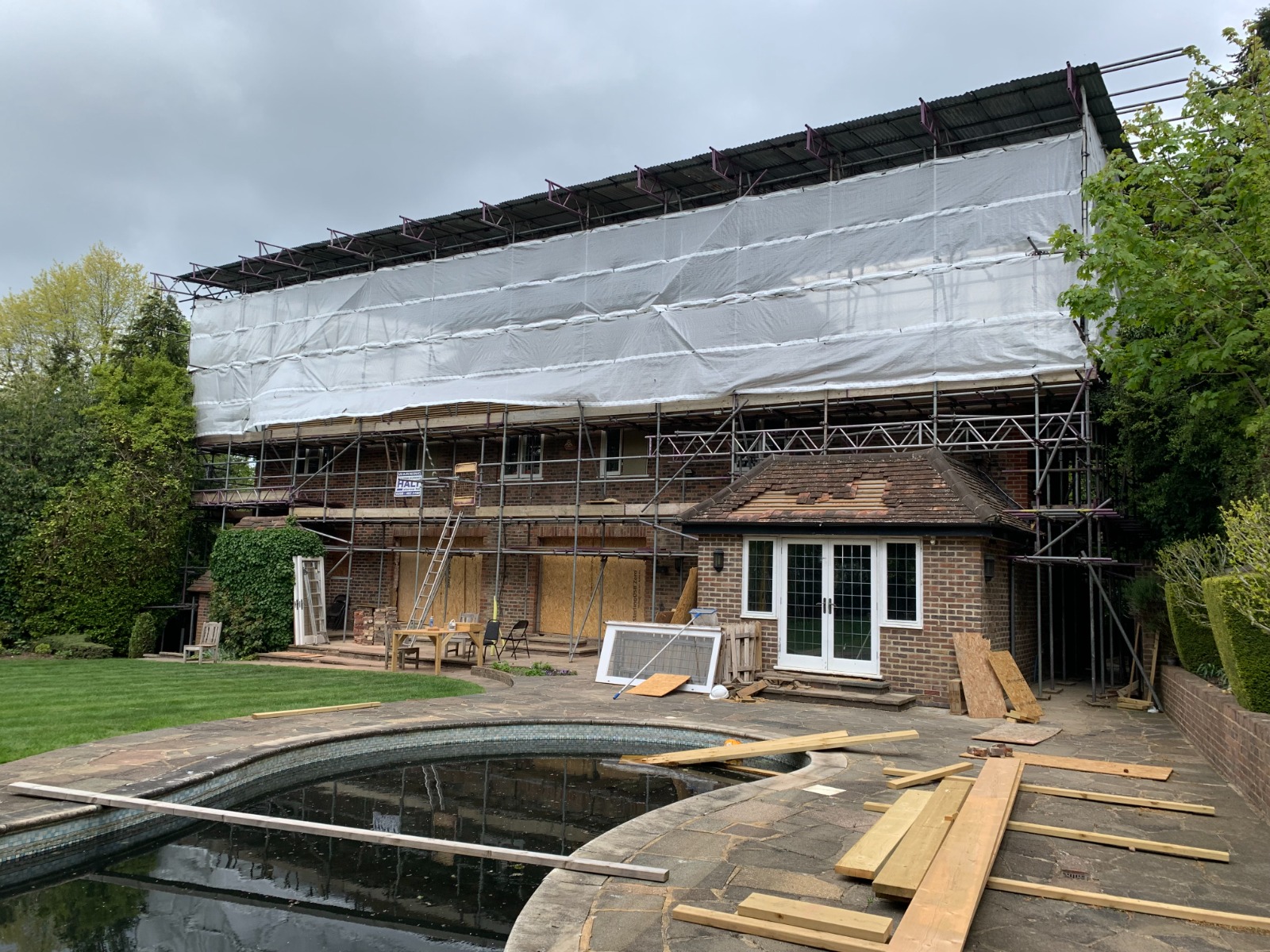
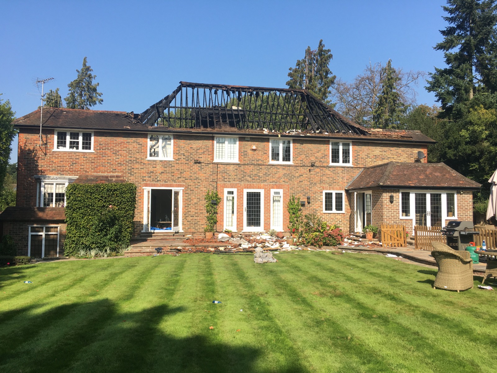
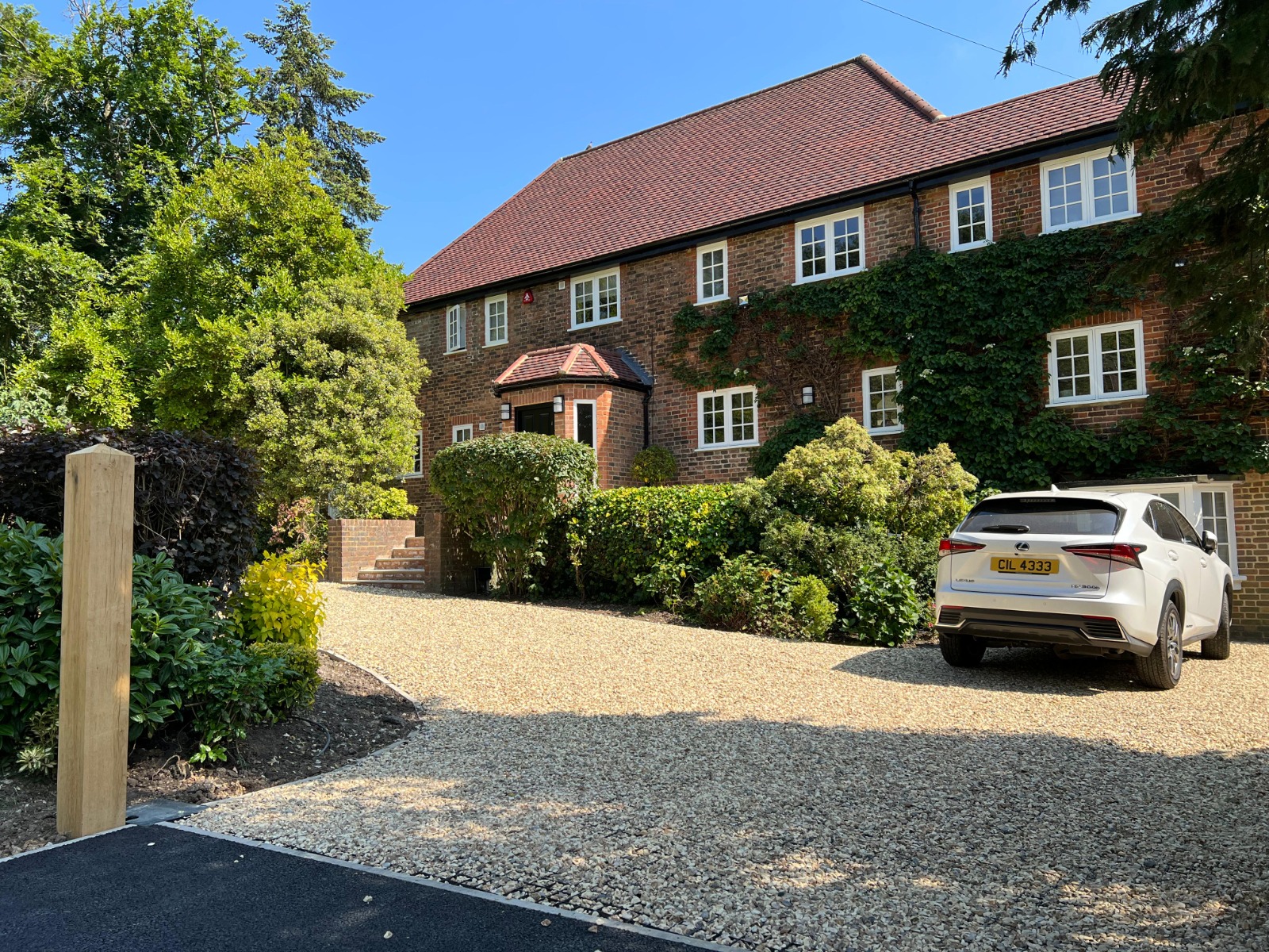
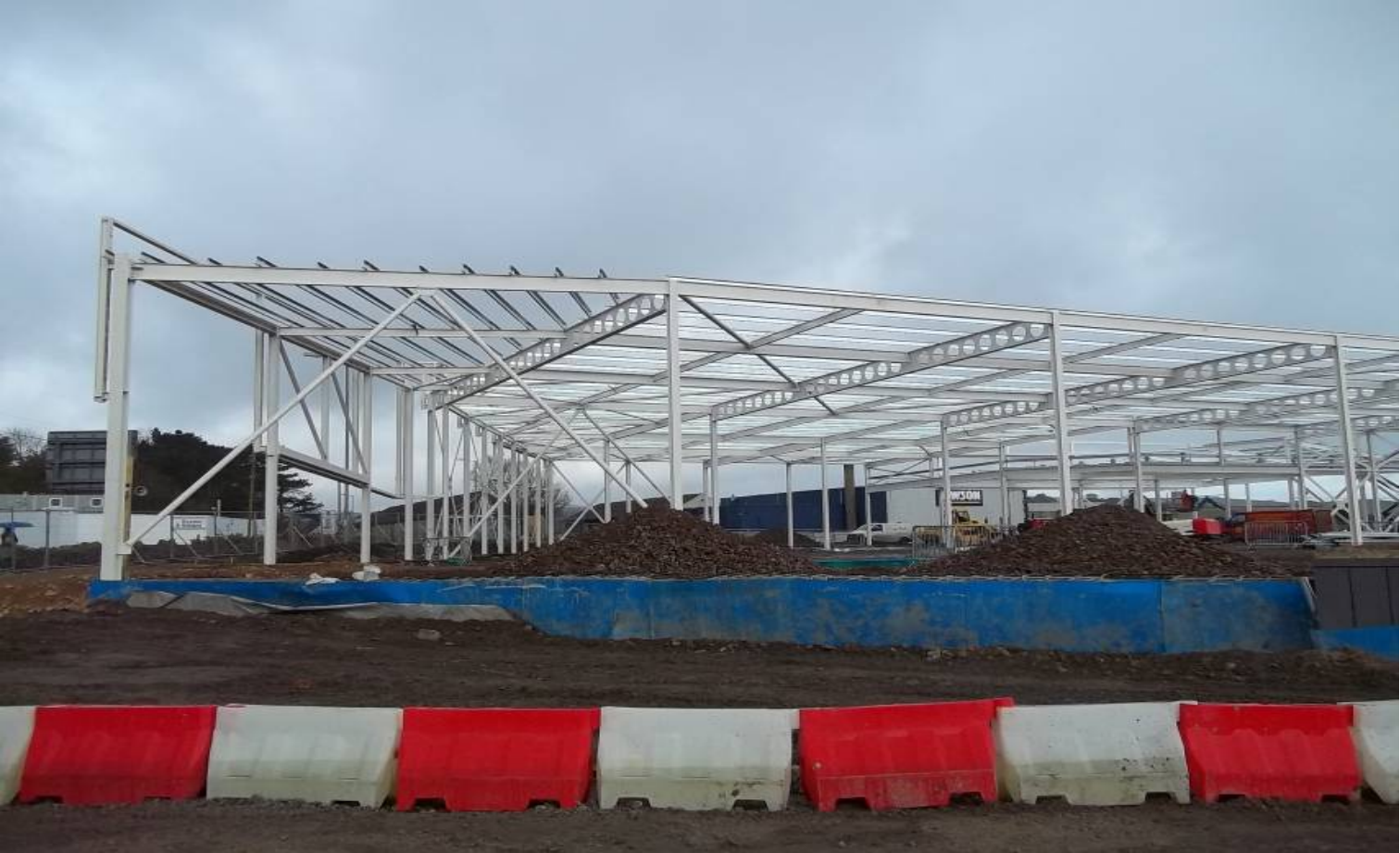
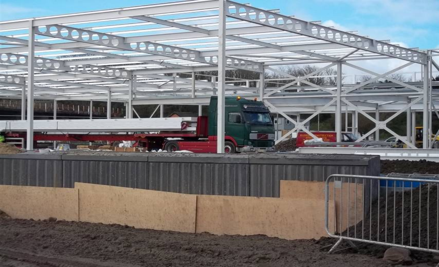
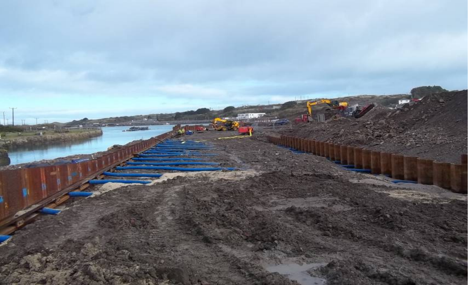
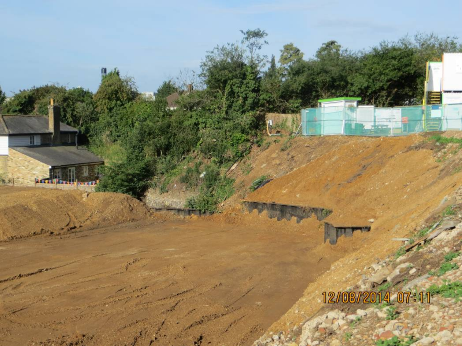
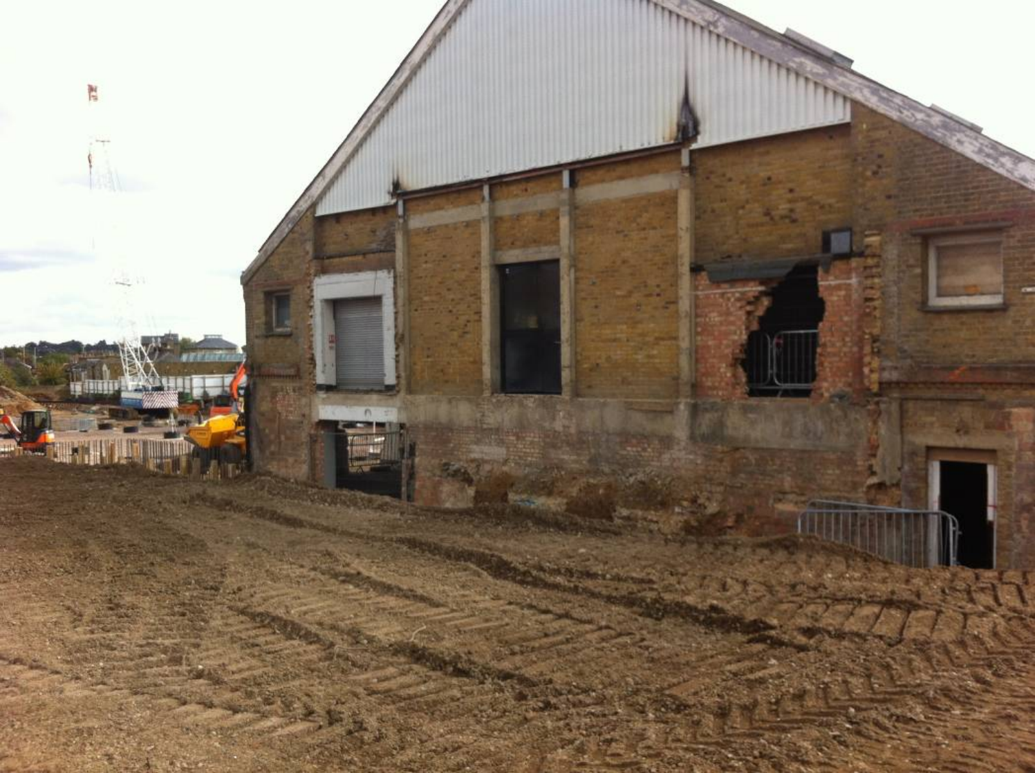
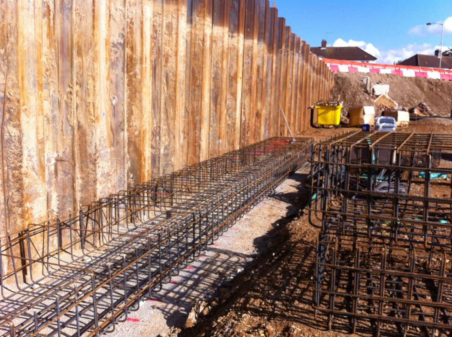
Projects on the Ground
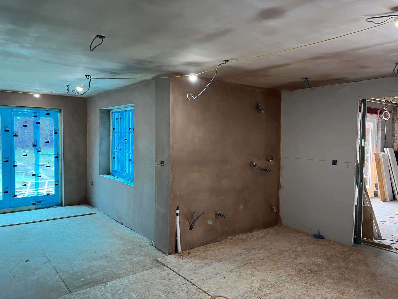
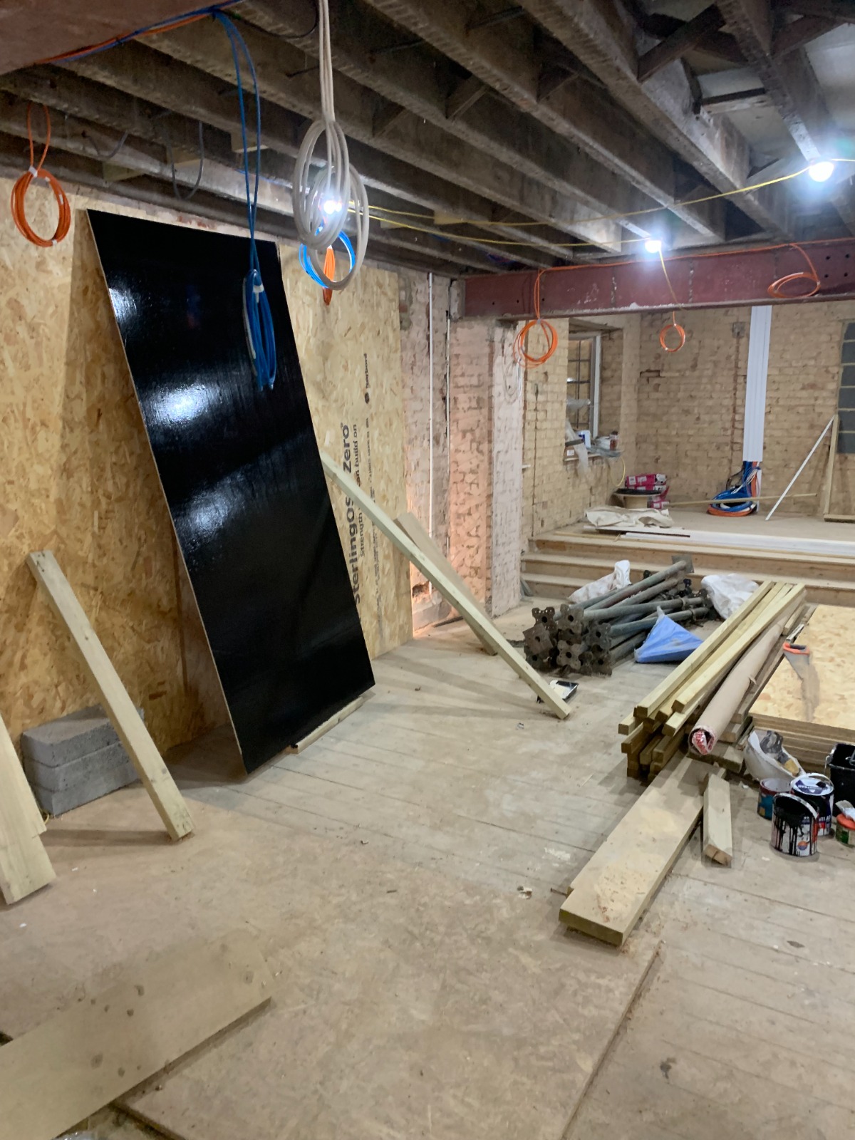
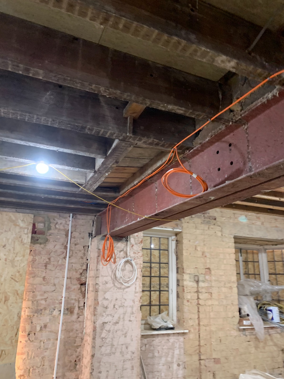
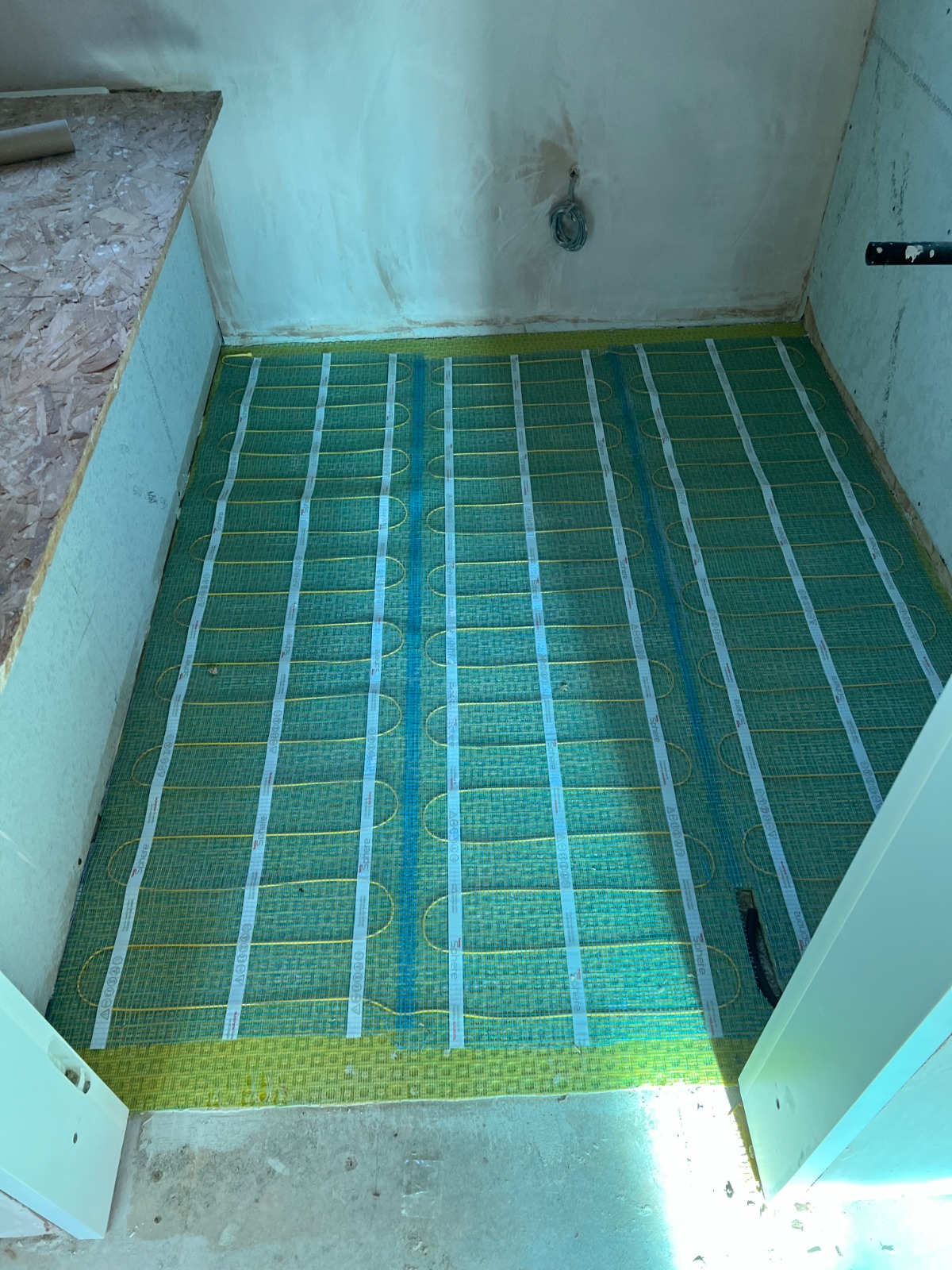
A selection of site photographs from our Design & Build and GIS Consultancy work.


Watch the Work in Progress
A short walkthrough from one of our live sites, showing the build at this stage of the programme.
How a Project Runs
Six stages, always in this order. Each one sets the reference point for the next.
Survey
Topographic & ground data captured on site.
Concept
Options tested against constraints & brief.
Detailed Design
Structural & civil packages finalised.
Approvals
Planning & building control submissions.
Construction
Build phase, supervised on site.
Handover
As-built records & close-out.
GIS Consultancy
QGIS for site level analysis, Google Earth Engine for wide area monitoring, layered together to answer questions a single site visit can't.
Topographic & Constraints Mapping
Survey data processed in QGIS to produce contours, cut-and-fill volumes and constraints plans.
QGISDEM analysisFlood Risk & Drainage Modelling
Watercourse, floodplain and surface-water layers combined to support drainage strategies and FRAs.
QGISSuDS designLand Cover & Environmental Monitoring
Satellite time-series in Google Earth Engine tracks vegetation and land cover change over years.
Google Earth EngineSentinel / LandsatUtility & Asset Mapping
Existing infrastructure and easements brought into a single georeferenced dataset for the project team.
QGISAsset registersStart a Project
Tell us about the site and what you're trying to find out: design, build, mapping, or all three.
Direct Contact
Contact us today with your enquiry, and we will aim to respond within two working days.